
Rock climbing in Karnataka
Karnataka is definitely a complete package. From travellers to explorers, historians to nature lovers, campers to adventurers, everyone seems to admire its beauty, making it one of the most desirab
Read
Hogenakkal is a waterfall in South India on the Kaveri river in the Dharmapuri district of the Indian state of Tamil Nadu. It is located 180 km (110 mi) from Bangalore and 46 km (29 mi) from Dharmapuri. Sometimes referred to as the "Niagara Falls of India," it is known for bathing areas and hides boat rides, projecting itself as a major tourist attraction. Carbonatite rocks in this site are considered to be the oldest of its kind in South Asia and one of the oldest in the world. The Government of Tamil Nadu made a proposal to convert the falls into providing drinking water for the state.
The Kaveri is considered to form at Talakaveri in the Brahmagiri hills in theWestern Ghats of south India and gathers momentum as the land drops in elevation. It becomes larger as various tributaries feed into it on the way down. At Hogenakkal, the Kaveri, now a large river, drops and creates numerous waterfalls as the water cuts through the rocky terrain. In places, the waterfalls as much as 20 m (66 ft) and is said to sound like continual thunder. Soon after the falls the river takes a southerly course and enters the Mettur Stanley Reservoir. The river carries sediment which makes the downriver land fertile.
At Hogenakkal the river spreads out over a wide area of sandy beaches, then flows through to the Mettur Dam and creates a 60 sq mi (160 km2). lake called Stanley Reservoir. Built in 1934, this project improved irrigation and provided hydropower.
Location Karnataka, Tamil Nadu, India
Coordinates 12°07′09″N 77°46′26″E
Elevation 700 m (2,300 ft)
Longest drop 20 m (66 ft)
The best season to visit is soon after the monsoons when the river is in full spate. But some tourists prefer to visit during the off-season to skip the crowd. The temperature in summer varies between 23–34 °C (73–93 °F) while during the winter it is still pleasant and ranges from 13–27 °C (55–81 °F).[11]
Boating in Hogenakkal is allowed during the dry season as the waterfalls are not strong enough to disrupt the passage of the boats. This is the main source of income for these boat operators. The coracles are about 2.24 m (7 ft 4 in) in diameter but still can take a load of eight persons at a time. These coracles are made of bamboo, and with all materials available take about a day to build.
The bottom of the boats are made waterproof by the use of hides, but sometimes with sheets of plastic. The use of plastics in the Hogenakkal vicinity, not just for boats, has been criticised due to problems with pollution. These boats are steered and propelled using a single paddle, making them unique. The coracles are locally called parisal in Tamil and either teppa or harigolu in Kannada.
Freshly caught fish are sold by the gorge and also various vendors sell water and snacks up and down the gorge rowing their coracles is not uncommon. The fish caught include katla, rohu, kendai, keluthi, valai, mirgal, aranjan and jilaby. After leaving the gorge, on the left shore one can find improvised stalls set up on the sand. There, one can let the fresh fish be prepared in one of the many kitchens. Also, many people can be found swimming or bathing around there.
Hogenakal Falls is the location for the Hogenakkal Integrated Drinking Water Project proposed by the Tamil Nadu Government. The objective of this project is to provide safe drinking water to the urban and rural areas in Krishnagiri and Dharmapuri districts. In February 2008, The Japan Bank for International Cooperation agreed to fund the Rs 1,340-crore project.
The district is located between latitudes N 11 47’ and 12 33’ and longitudes E 77 02’ and 78 40’. Occupies an area of 4,497.77 km2 (1,736.60 sq mi) (i.e. 3.46% of Tamil Nadu). It is bounded on the north by Krishnagiri District, on the east by Tiruvannamalai District and Viluppuram District, on the south by Salem District, and on the west by Karnataka's Chamarajanagar District. The whole district is surrounded by hills and forests, and the terrain is of rolling plains type. Dharmapuri is located in a geographically important area in south India.
The whole district is predominantly covered with forests. Spider Valley located near Hogenakkal is home to many wild animals. The district falls in the migratory path of elephants. Conflicts between man and elephant are most common in these parts. Many tribal communities depend on these forests. Vathalmalai, a mountain hamlet on top of Shervarayan hill chain has suitable conditions to cultivate coffee and jackfruit. Wild boars and spotted deer are commonly seen in Morappur and Harur forest region. Gaurs sometimes stroll near villages in the Bommidi region. Thoppur ghat has one of the area's scenic highways surrounded by mountains and forests.
Dharmapuri is the district headquarters. The district has been divided into two revenue divisions namely Dharmapuri and Harur consisting of seven taluks.
Town Panchayats: Harur, Marandahalli, Bommidi, Palakkodu, Pennagaram, Karimangalam, Kambainallur, Papparapatti, Kadathur, Pappireddipatti.
Panchayat Unions: Dharmapuri, Harur, Nallampalli, Palakkodu, Pennagaram, Karimangalam, Morappur, Pappireddipatti.
According to the 2011 census, Dharmapuri district had a population of 1,506,843 with a sex ratio of 946 females for every 1,000 males, much above the national average of 929. A total of 167,940 were under the age of six, constituting 87,777 males and 80,163 females. The average literacy of the district was 91.2% compared to the national average of 72.99%. The district had a total of 375,873 households. There were a total of 751,170 workers, comprising 191,080 cultivators, 217,062 main agricultural labourers, 11,308 in household industries, and 233,546 other workers, 98,174 marginal workers, 10,248 marginal cultivators, 50,283 marginal agricultural labourers, 4,033 marginal workers in household industries and 33,610 other marginal workers.The population of the district is roughly equal to the nation of Gabon[6] or the US state of Hawaii.
Hogenakkal Falls is located in the Pennagaram taluk Dharmapuri district. Medicinal baths, boat rides, oil massage, fish fiesy and waterfalls in the hills make it a tourist attraction. Sometimes referred to as the "Niagara Falls of India,"Carbonatite rocks in this site are considered to be the oldest of their kind in South Asia and some of the oldest in the world.[9] The Government of Tamil Nadu proposed converting the falls to provide drinking water for the state. TheKaveri river flows into the state through the district, and Hogenakkal, a town situated 46 km (29 mi) from Dharmapuri city is the site where the river drops as a scenic waterfall.
Vathalmalai or Vytla Hills is a hill station in Dharmapuri district in Tamil Nadu. It is situated at an altitude of 1,418 m (4,652 ft) height above sea level. It is located 25 km (16 mi) from Dharmapuri city and the road has 26 hairpin bends to reach hilltop. It covers an area measuring nearly 225 km2 (87 sq mi).
The climate of the Vytla Hills has a moderate humid subtropical climate (Köppen:Cwa). Winters are fairly mild, beginning in December and ending in February. During winter, the hills are covered in mist. Winters range from 7–18 °C (45–64 °F), and summers from 15–28 °C (59–82 °F). Rainfall is 1,500–2,000 mm (59–79 in). Coffee bushes blossom in April. The climate is also particularly pleasant.
Most of the native flora and fauna of Vytla have disappeared due to severe habitat fragmentation resulting from the creation of the plantations.[citation needed] However, some species continue to survive and thrive in several protected areas nearby, including the Sheverayan Hills (Yercaud). These protected areas are known for several threatened and endemic species including Nilgiri tahr (Ibex), the Grizzled Giant Squirrel, the Nilgiri Wood-pigeon, the Gaur, wild pig, the Nilgiri langur, the Sambar deer and the Neelakurinji (that blossoms only once every seven years).
Hill-temple at Theerthamalai in Harur taluk is a sacred religious site for Hindus and has been in existence from the times of the Chola and the Vijayanagara empires.
Adhiyamankottai: Tourists visiting the site can see the ruins of the roughly oval-shaped fort. Also close to this site is the Chenraya Perumal Temple, which is believed to have been constructed by King Krishnadevaraya as well as the Hoysala kings.
The Mandapam within the temple leads to the sanctum sanctorum, where there are paintings depicting the scenes from the Mahabharata and the Ramayana. The Kalabairavar Temple is also located here. Kottai Kovil located on the northern side of Dharmapuri is a temple dedicated to Lord Shiva. This temple is known for its rare sculptures and paintings. One of the main features of this temple is the "hanging pillar". The locals believe that a secret passage in this temple connects it to Adhiyamankottai.
Dharmapuri Archaeological Museum contains many historical objects.[citation needed]
Sri Hanuman (Anjaneya) Temple at Muthampatti has located 14 km (8.7 mi) from Dharmapuri City in a forest near Muthampatti Railway Station (2 km (1.2 mi)).
Also, the Nagavadhi Dam and the Thoppayaru Dam (located nearby Thoppur, Dharmapuri) and more dams can be visited by tourists. B. Agraharam Muniyappan Temple festival is celebrated every year in the Tamil month Margali middle week Tuesday.
Karnataka is definitely a complete package. From travellers to explorers, historians to nature lovers, campers to adventurers, everyone seems to admire its beauty, making it one of the most desirab
Read
Vidurashwatha is a small village located in the Gauribidanur taluk ofChikkaballapur district in the state of Karnataka, India. Situated near the Karnataka–Andh
Read
Bheemeshwari is a small town in Karnataka's Mandya district, with a soft background of the unembellished and true to life rural India, with bullock carts in place of
Read
Shravanabelagola (Śravaṇa Beḷagoḷa) is a town located near Channarayapatna of Hassan district in the Indian state of Karnataka and is 144 km from Bangalore. The Gomm
Read
Dharmasthala is an Indian temple town on the banks of the theNethravathi River in the Belthangady taluk of the Dakshina Kannada district in Karnataka, India. It is a
Read
Shivagange is a mountain peak with a height of 804.8 meters or 2640.3 feet and a Hindu pilgrimage centre located near Dobbaspet, in Bengaluru Rural district India. It is situated 1
Read
Hogenakkal is a waterfall in South India on the Kaveri river in the Dharmapuri district of the Indian state of Tamil Nadu. It is located 180 km (110 mi) from Bangalo
Read
Antharagange is a mountain located in the Shathashrunga mountain range. It is located three kilometres from Kolar in the direction of Kolar Betta, the series of moun
Read
Antaragange is a mountain located in the Shathashrunga mountain range. It is located three kilometers from Kolar in the direction of Kolar Betta, the series of mountains that form the temple backdr
Read
Mekedatu is a location along Kaveri in Kanakapura Taluk of Ramanagara District . Chunchi Falls is a breathtaking waterfall 90 km away from Bangalore city. Chunchi Falls is 16 km b
Read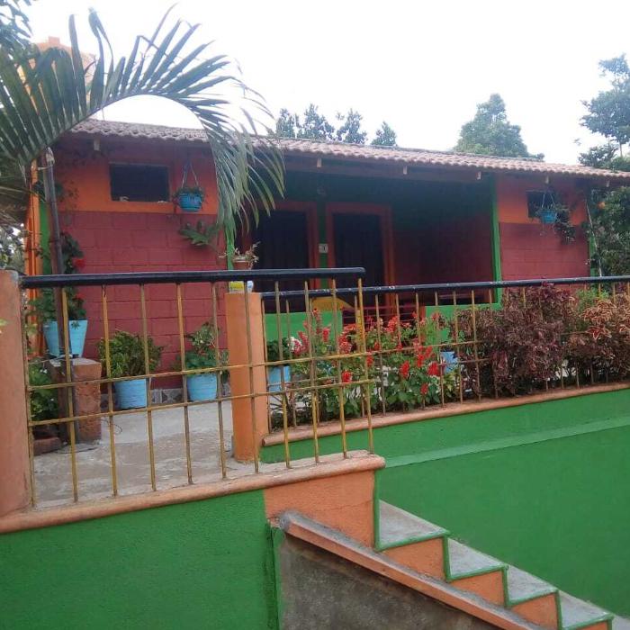
Boasting a shared lounge, a garden as well as a terrace, BHAGAVATHY BUDGET COTTAGES WITH BONFIRE is set in Madikeri, within 4.2 km of Raja Seat and 5 km of Madikeri Fort.
explore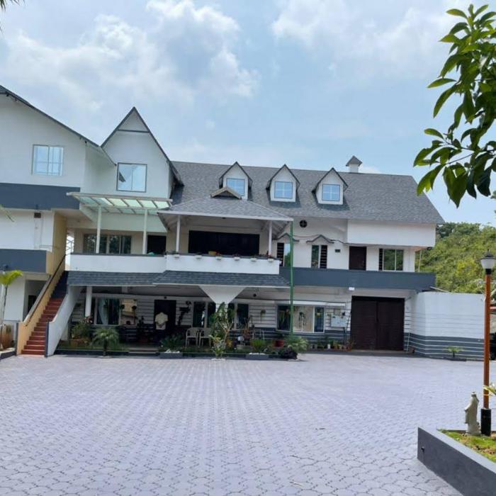
Located in Madikeri, within less than 1 km of Raja Seat and 1.7 km of Madikeri Fort, kollanoor guest house provides accommodation with a garden and free WiFi as well as free private parking for gue
explore
Three Hills, Coorg is located in seclusion amidst three hills in Coorg District in the State of Karnataka.
explore
A spectacular paddy farm backdrop, lush green areca plantation located on Siddapura - An authentic homely retreat near Jog Falls on a truly mesmerizing landscape – that is IBBANI ho
explore
A Riverside Homestay in Sakleshpur. Situated deep within the Western Ghats, at the base of a valley with a stream running through all year.
explore
Thangaali Home Stay is a unique family gateway located in the midst of enchanting greens offering eco-friendly ambience that fits your budget. We believe in ecologically sustaining tourism where yo
explore
Experience hospitality at its best at Gonakal, a 360 years old heritage abode amidst the scenic beauty of Malnad's lush green forests, widespread coffee plantations and the intoxicating aroma o
explore
Bombrukalluhomestay is situated in Sunkasale is a Village in Mudigere Taluk, Chikmagalur District, Karnataka State. Sunkasale is located 20.8 km distance from its Taluk Main Town Mudigere. Sunkasal
explore
It is in the remote beauty tucked in the heavenly WesternGhats of Chikmagalur. Girisiri homestay is located next to majestic one rock mountain, with one of the most stunning views of the valley bel
explore